Livestock Location Management
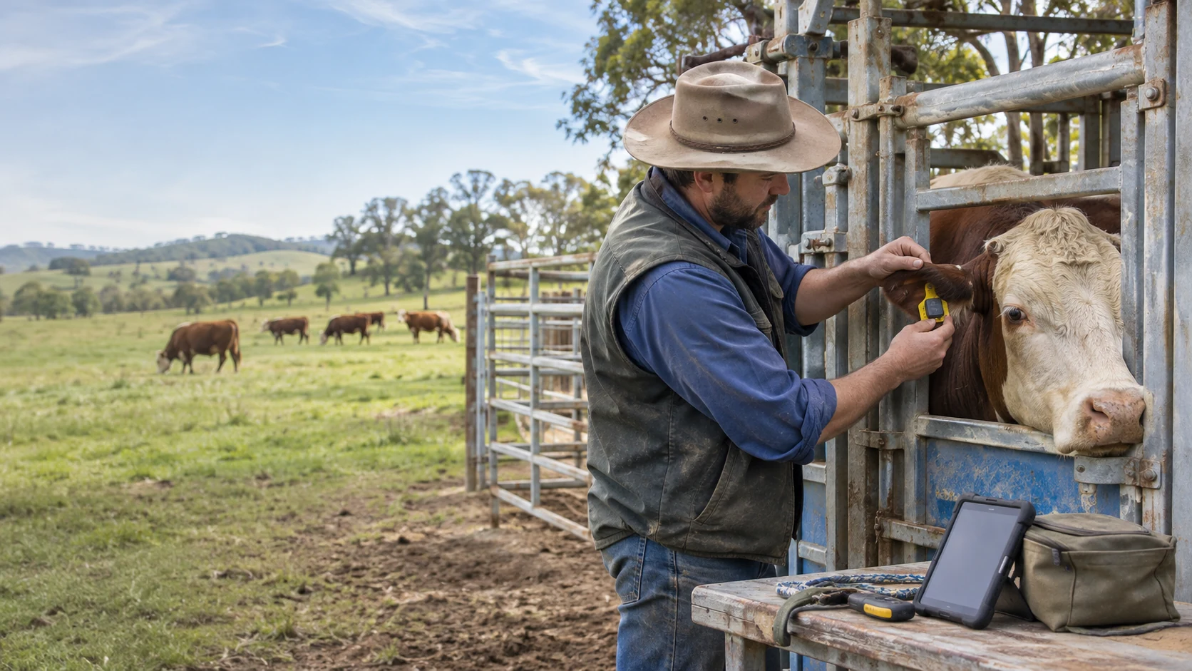
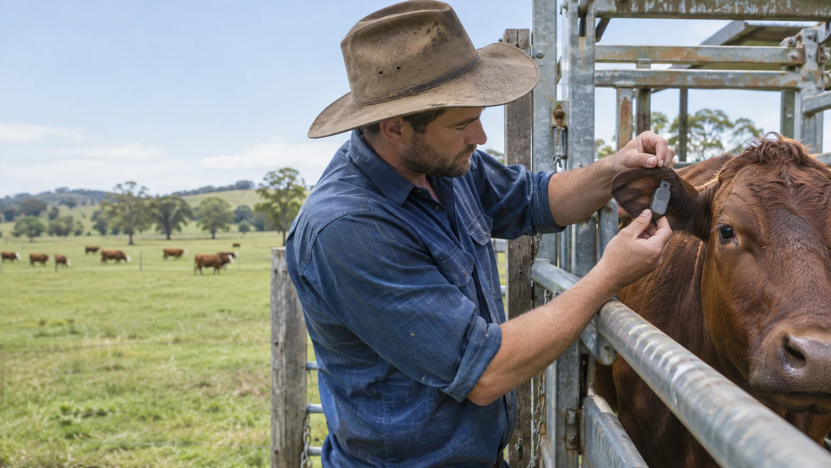
Plan GPS equipment for a pastoral livestock setting with cattle in an open paddock and a farmer inspecting an ear-mounted tracking device at a handling pen, with practical operating constraints, survey questions and checks.
Discuss this applicationThe working environment
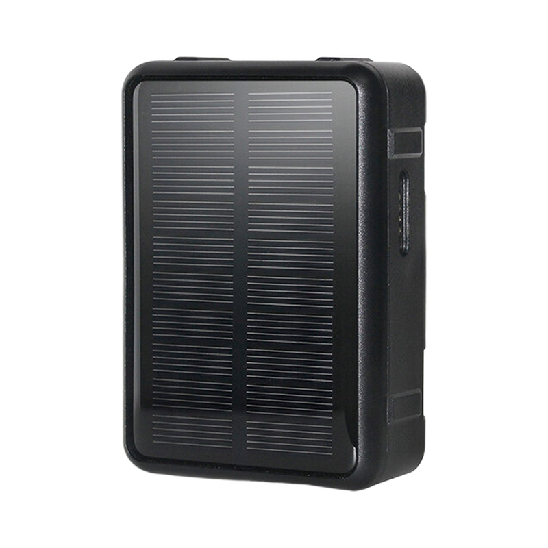
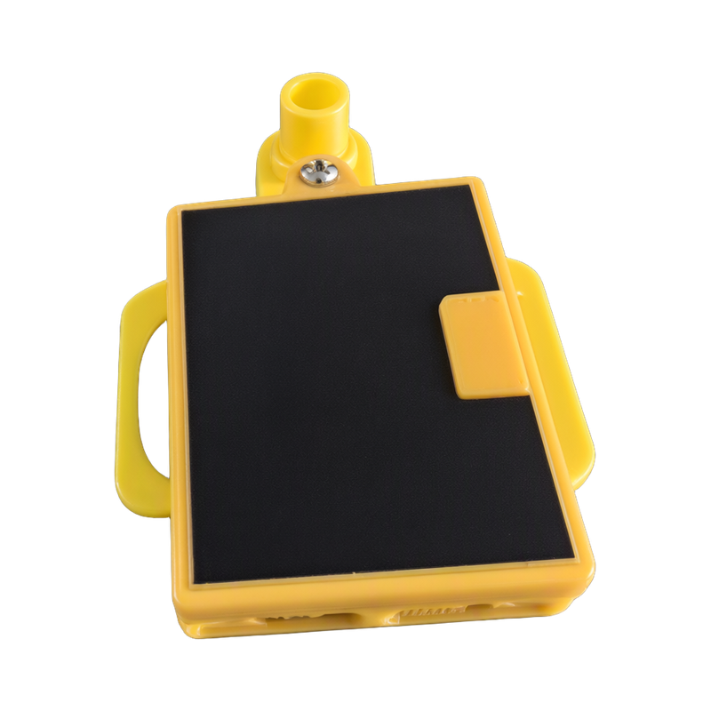
This application focuses on a pastoral livestock setting with cattle in an open paddock and a farmer inspecting an ear-mounted tracking device at a handling pen. The task is to evaluate an animal-suitable tracking terminal and the routine required to use its location information.
Confirm that the device and attachment are intended for the animal and have been assessed by the responsible handler. An RFID animal-identification tag does not provide GNSS location tracking.
People and daily operation
The people responsible are farm operators, livestock handlers and tracking-system integrators. The site survey should follow their ordinary handling, access and maintenance routines.
Test rural mobile service over the real grazing area, including terrain, vegetation and shelter. The animal-to-device record must remain correct when a device is replaced.
Conditions that shape the installation
- Animal welfare and attachment fit
- Rural network availability
- Weather, vegetation and terrain
- The difference between RFID identity and GNSS tracking
Questions for the site survey
- Confirm the animal and attachment method
- Check coverage and positioning conditions
- Register the terminal to the correct animal record
- Plan inspection and device servicing
The answers should be written against the real site, not copied from another location. Use representative items and loads, actual mounting positions, expected staff movements and the available power or network infrastructure.
What to test on site
Plan inspections and retrieval around normal husbandry. Location updates can support the farm’s routine but do not eliminate the need to observe animals or maintain fences.
- Have the attachment method reviewed for the animal
- Test the real grazing area
- Verify animal-to-device records
- Check recovery and servicing procedures
Use the linked GPS solution pages to turn this survey into an equipment and workflow proposal. Product selection should then be checked against each model’s current specification, supported configuration and source document. The scene illustration explains the intended environment; it is not a reference customer installation or a performance test.
Discuss the deployment
Tell us the task, product types, site layout and installation conditions. We will help you verify the appropriate model and configuration for the project.